Advanced Drones for Precise Environmental Monitoring
Overview
Drones are becoming essential for environmental monitoring, providing efficient and cost-effective data collection. This article highlights four advanced drones: the DJI Mavic 3 Pro for professional photography, the DJI Matrice 4T for thermal imaging, the DJI AGRAS T50 for agricultural applications, and the Autel Robotics EVO II 640T for comprehensive imaging solutions. Each drone features unique capabilities tailored to specific monitoring needs, making them valuable tools in combatting climate change.
Table of Contents
- DJI Mavic 3 Pro: Versatility Meets Professional Quality
- DJI Matrice 4T: The Thermal Expertise
- Key Features of DJI Matrice 4T
- DJI AGRAS T50: Elevating Agricultural Monitoring
- Autel Robotics EVO II 640T: Comprehensive Imaging Solution
- Technical Specifications Overview
- Buyer’s Guide: Choosing the Right Drone for Environmental Monitoring
As environmental monitoring becomes increasingly important in our efforts to understand and mitigate climate change, the role of drones in this field is becoming crucial. Drones equipped with sophisticated sensors and cameras provide valuable data efficiently and cost-effectively. In this article, we'll explore four advanced drones designed specifically for various aspects of environmental monitoring, from agricultural applications to thermal imaging and professional aerial photography.
DJI Mavic 3 Pro: Versatility Meets Professional Quality
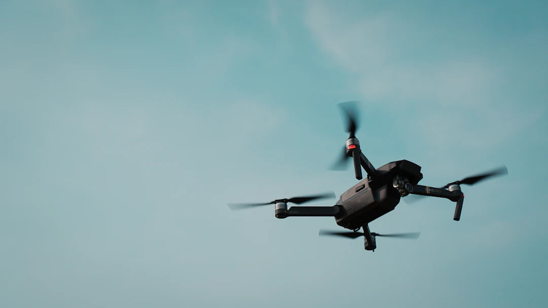
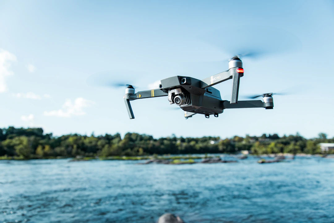
The DJI Mavic 3 Pro is a state-of-the-art drone that offers an impressive array of features suitable for environmental monitoring. With a pixel count of over 18 million, it provides stunning 4K video quality, making it an ideal choice for professional aerial photography. Its three-camera setup allows for varied perspectives, enabling users to capture detailed visuals of landscapes, forests, and wildlife habitats.

With a remarkable battery life of 43 minutes and a maximum flight altitude of over 120 meters, the Mavic 3 Pro allows for extensive coverage of diverse terrains. The remote control can transmit images up to 7 kilometers away, making it invaluable for long-range monitoring tasks. Furthermore, it features intelligent obstacle avoidance, ensuring that the drone can operate safely in complex environments.
DJI Matrice 4T: The Thermal Expertise
For professionals in fields such as forestry conservation and emergency response, the DJI Matrice 4T sets a new standard. This thermal intelligent multi-sensor compact drone is designed for enterprise industries and boasts advanced features that facilitate intelligent aerial operations.

The Matrice 4T features a laser rangefinder, which enhances its capability to measure distances accurately—ideal for assessing forest density or mapping land use. Its three-camera system includes a wide-angle camera, a medium telephoto camera, and a telephoto camera, each with a 48MP sensor. This versatility makes it suitable for various applications, from surveying to environmental impact assessments.
Key Features of DJI Matrice 4T
- Three advanced cameras for versatile imaging
- AI-powered flight operations for enhanced safety
- Suitable for diverse applications: forestry, public safety, and more
DJI AGRAS T50: Elevating Agricultural Monitoring
In the agricultural sector, the DJI AGRAS T50 stands out as a precision agricultural drone capable of revolutionizing farming practices. With its heavy payload capacity of 40 kg for spraying and 50 kg for spreading, it is designed for efficiency and effectiveness in crop management.

The AGRAS T50 uses a Dual Atomizing Spraying System, allowing for a high flow rate of up to 16 liters per minute, delivering fine, uniform spray droplets that ensure effective crop treatment without wastage. This drone excels in various scenarios, from surveying crops to applying pesticides, making it an invaluable tool for modern farmers looking to optimize yields and reduce environmental impact.
Autel Robotics EVO II 640T: Comprehensive Imaging Solution
Another notable contender in the environmental monitoring arena is the Autel Robotics EVO II 640T. This drone integrates a dual-gimbal camera system that combines thermal and visual imaging capabilities. It is particularly useful for applications in search and rescue, wildlife monitoring, and infrastructure inspections.

The thermal camera features a high-resolution uncooled Vox microbolometer sensor that provides ten thermal color palettes, isotherms, and image enhancement, making it ideal for detecting temperature differences in environmental studies. Meanwhile, the visual camera boasts up to 8000 x 6000 resolution, ensuring stunning image quality for aerial photography. The ability to record in multiple formats, including 4K and 8K, makes this drone a comprehensive solution for a variety of monitoring needs.
Technical Specifications Overview
| Drone Model | Camera Type | Battery Life | Max Flight Altitude | Payload Capacity |
|---|---|---|---|---|
| DJI Mavic 3 Pro | 3 Cameras, 4K | 43 minutes | 120m+ | N/A |
| DJI Matrice 4T | 3 Cameras, 48MP | N/A | N/A | N/A |
| DJI AGRAS T50 | Dual Atomizing Spraying | N/A | N/A | 40kg (Spraying) |
| Autel Robotics EVO II 640T | Thermal and Visual | N/A | N/A | N/A |
Buyer’s Guide: Choosing the Right Drone for Environmental Monitoring
When selecting a drone for environmental monitoring, consider the following factors:
- Purpose: Determine if you need thermal imaging, aerial photography, or agricultural spraying capabilities.
- Payload Capacity: Ensure the drone can handle the weight of additional equipment or payloads required for your tasks.
- Battery Life: Look for a drone with sufficient battery life for your monitoring tasks, especially if covering large areas.
- Camera Quality: High-resolution cameras are essential for capturing detailed images and data.
- Flight Range: Consider the maximum flight distance, especially for remote monitoring applications.
In conclusion, the advancements in drone technology are paving the way for significant improvements in environmental monitoring practices. Whether you’re a professional photographer, an agricultural expert, or a conservationist, selecting the right drone can lead to more effective data collection and analysis. Each of the drones discussed—be it the versatile DJI Mavic 3 Pro, the thermal capabilities of the DJI Matrice 4T, the agricultural efficiency of the DJI AGRAS T50, or the dual imaging prowess of the Autel EVO II 640T—offers unique features that cater to specific environmental monitoring needs.
Key Takeaways
- Drones Enhance Data Collection: Drones equipped with advanced sensors and cameras provide efficient and cost-effective data for environmental monitoring.
- DJI Mavic 3 Pro: Offers 4K video quality, a three-camera setup, a 43-minute battery life, and intelligent obstacle avoidance for professional aerial photography.
- DJI Matrice 4T: Features a multi-sensor system with thermal imaging, a laser rangefinder, and is suitable for forestry conservation and emergency response.
- DJI AGRAS T50: Designed for agriculture, it has a 40 kg payload capacity for spraying and utilizes a Dual Atomizing Spraying System for efficient crop management.
- Autel Robotics EVO II 640T: Combines thermal and visual imaging capabilities, ideal for wildlife monitoring and infrastructure inspections, with high-resolution recording options.
- Key Considerations: When choosing a drone, assess its purpose, payload capacity, battery life, camera quality, and flight range to meet specific monitoring needs.
- Advancements in Drone Technology: New drone models are significantly improving the effectiveness of environmental monitoring across various sectors.
Pros and Cons
| Advantages of Drones in Environmental Monitoring | Drawbacks of Drones in Environmental Monitoring |
|---|---|
| Cost-effective data collection for various applications. | Initial investment can be high for advanced models. |
| High-resolution imaging for detailed analysis. | Weather conditions can limit operational effectiveness. |
| Extended flight times for large area coverage. | Requires skilled operators for optimal use. |
| Versatile applications across industries (agriculture, conservation). | Regulatory restrictions may apply in certain regions. |
| Advanced features like thermal imaging enhance monitoring capabilities. | Maintenance and repairs can incur additional costs. |
Who It's For (And Not For)
Who It's For
- Environmental Professionals: Those working in fields such as forestry conservation, agriculture, or emergency response will benefit from the advanced features offered by these drones.
- Photographers: Professional aerial photographers seeking high-quality imaging and versatile camera options will find the DJI Mavic 3 Pro particularly appealing.
- Agricultural Experts: Farmers looking to optimize crop management and reduce environmental impact will appreciate the capabilities of the DJI AGRAS T50.
- Researchers and Conservationists: Individuals involved in environmental studies or wildlife monitoring will find drones like the Autel Robotics EVO II 640T useful for comprehensive data collection.
Who It's Not For
- Casual Users: Hobbyists or casual drone users who do not require advanced features may find these drones too complex or expensive for their needs.
- Budget-Conscious Buyers: Those with limited budgets may not find the high-end models like the DJI Matrice 4T or Mavic 3 Pro to be cost-effective.
- Non-Technical Users: Individuals unfamiliar with drone technology may struggle to utilize the advanced features effectively.
- Short-Distance Operators: Users who only need to operate drones over short distances may not benefit from the long-range capabilities these drones offer.
Comparison at a Glance
| Option | Best for | Strengths | Trade-offs |
|---|---|---|---|
| DJI Mavic 3 Pro | Professional Aerial Photography | 4K video quality, versatile three-camera setup, 43 minutes battery life | Higher cost, not specialized for thermal imaging |
| DJI Matrice 4T | Thermal Imaging and Conservation | Advanced thermal capabilities, laser rangefinder, AI-powered operations | More complex to operate, higher price point |
| DJI AGRAS T50 | Agricultural Monitoring | High payload capacity, efficient spraying system, designed for crop management | Limited to agricultural use, no aerial photography capabilities |
| Autel Robotics EVO II 640T | Comprehensive Imaging Applications | Dual-gimbal system, high-resolution thermal and visual cameras | Potentially less specialized in one area, battery life not specified |
Frequently Asked Questions
1. What is the role of drones in environmental monitoring?
2. What features does the DJI Mavic 3 Pro offer for environmental monitoring?
3. How does the DJI Matrice 4T enhance thermal imaging capabilities?
4. What makes the DJI AGRAS T50 suitable for agricultural monitoring?
5. What should I consider when choosing a drone for environmental monitoring?
Glossary
| Term | Meaning |
|---|---|
| Drone | A remotely operated aerial vehicle used for various applications. |
| Thermal Imaging | A technique that captures temperature variations using infrared sensors. |
| Aerial Photography | Taking photographs from an elevated position, typically using drones. |
| Payload Capacity | The maximum weight a drone can carry, including equipment. |
| Battery Life | The duration a drone can operate before needing a recharge. |
| Camera Resolution | The clarity of images captured, measured in pixels. |
| Flight Range | The maximum distance a drone can travel from its controller. |
| Obstacle Avoidance | A feature that helps drones navigate safely by detecting obstacles. |
| Dual Atomizing Spraying | A system that delivers precise liquid applications in agriculture. |
| Isotherms | Lines on a map connecting points of equal temperature. |