Transforming Urban Spaces: Drones in City Planning
Overview
Drones are revolutionizing urban planning by enabling municipalities to conduct efficient land surveys, infrastructure inspections, and environmental assessments. Key benefits include cost savings, time efficiency, high-quality data collection, and access to hard-to-reach areas. While challenges such as regulatory compliance and public perception exist, the future looks promising with advancements in drone technology and potential for enhanced public engagement and smarter urban designs.
Table of Contents
- The Evolution of Urban Planning
- What are Drones?
- Benefits of Using Drones in Urban Planning
- Practical Applications of Drones in Urban Planning
- Land and Property Surveys
- Infrastructure Inspection and Monitoring
- Impact Assessments
- Urban Modeling and Simulation
- Choosing the Right Drone for Urban Planning
- DJI Enterprise Drone Comparison
- Challenges in Using Drones for Urban Planning
- Looking Ahead: The Future of Drones in Urban Planning
- Wrapping Up: Embracing a New Era in Urban Planning
In recent years, the implementation of drones in various fields has seen an exponential increase. Among these applications, urban planning stands out as a critical area where municipalities are harnessing the power of drone technology. Municipalities worldwide are turning to drones for a multitude of planning activities, from surveying land to mapping infrastructure. This blog post will explore how drones are shaping urban environments, the benefits they bring, their practical applications, and the cutting-edge technology involved, including the best thermal cameras for drones and comparisons of DJI enterprise drones.
The Evolution of Urban Planning
Urban planning has always required a detailed understanding of the existing landscape and infrastructure. Traditionally, this involved extensive ground surveys, manual data collection, and even aerial photographs taken from airplanes. However, the advent of drone technology has revolutionized the way planners gather data and conduct assessments.
What are Drones?
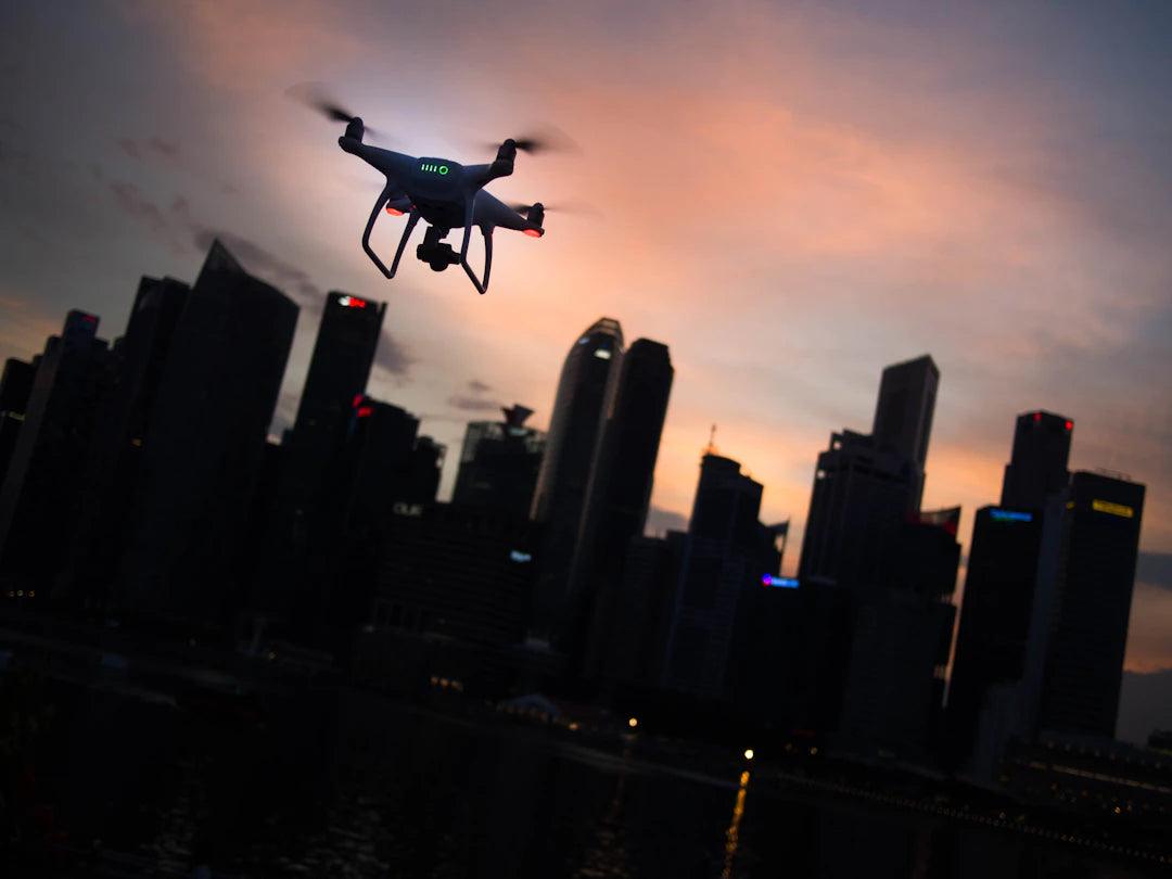
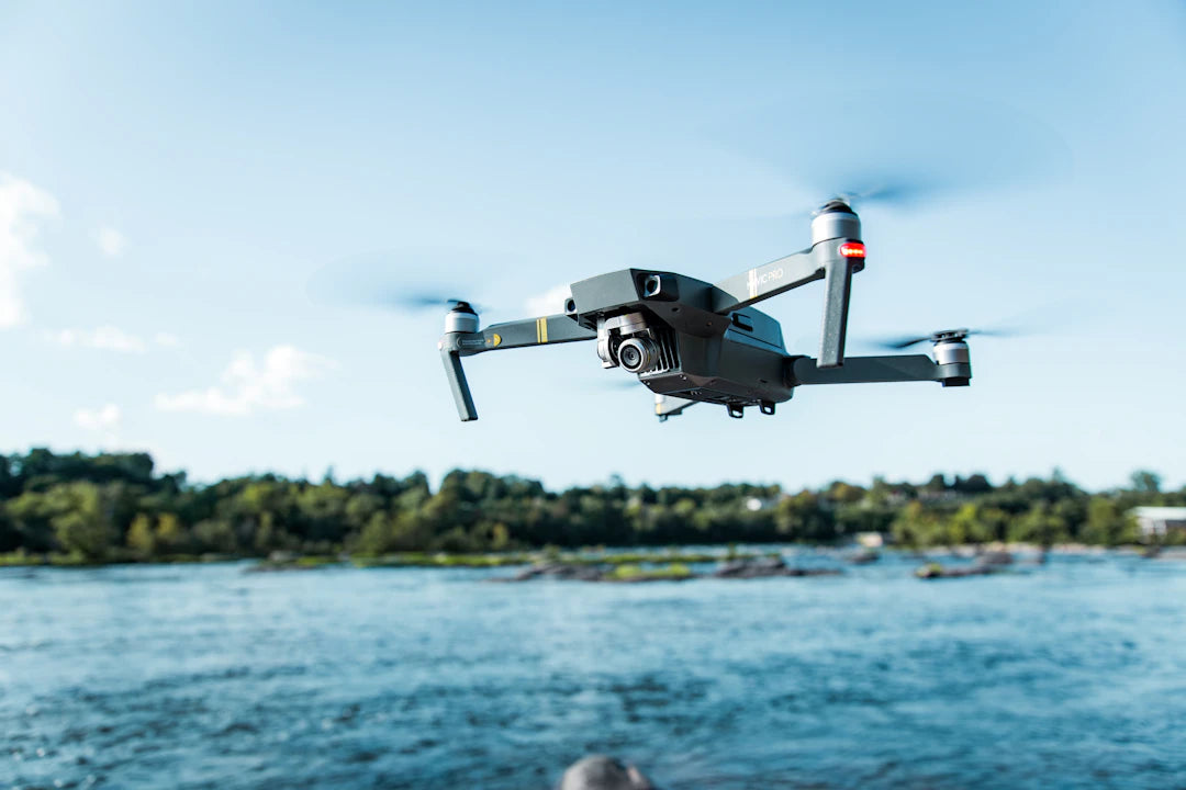
Drones, or unmanned aerial vehicles (UAVs), are aircraft operated remotely or autonomously without a pilot onboard. Equipped with high-resolution cameras, sensors, and sometimes thermal imaging capabilities, drones can collect vast amounts of data efficiently and accurately. This capability has made them invaluable tools in urban planning.
Benefits of Using Drones in Urban Planning
The integration of drones into urban planning offers numerous advantages that enhance efficiency and effectiveness. Here are some key benefits:
- Cost-Effective: Drones reduce the need for expensive ground surveys and manual data collection.
- Time-Saving: A drone can cover extensive areas much faster than traditional methods, allowing for quick assessments.
- High-Quality Data: Advanced drones equipped with high-resolution cameras and sensors provide accurate and detailed information essential for decision-making.
- Access to Remote Areas: Drones can reach locations that may be difficult or dangerous for survey teams to access.
- Real-Time Feedback: Drones can be deployed to capture data immediately, allowing planners to make quick assessments and adjustments.
Practical Applications of Drones in Urban Planning
Municipalities are employing drone technology in various ways that significantly enhance urban planning efforts. Some of the most notable applications include:
Land and Property Surveys
Drones equipped with high-resolution cameras can conduct detailed land surveys quickly. This process results in precise geographic information essential for zoning and property assessments. By utilizing the best thermal camera for drones, municipalities can also identify heat loss in buildings, aiding in energy efficiency assessments.
Infrastructure Inspection and Monitoring
Drones are excellent for inspecting essential infrastructure such as bridges, roads, and buildings. With the ability to capture high-resolution images and videos, city planners can monitor the condition of structures without needing to send teams out into potentially hazardous environments. Drones can also perform routine inspections, helping to identify maintenance needs before they escalate into costly repairs.
Impact Assessments
Before undertaking new urban projects, municipalities must conduct environmental and impact assessments. Drones can provide crucial data on wildlife habitats, vegetation, and other ecological factors. This data allows planners to minimize adverse impacts on the local environment and ensure compliance with environmental regulations.
Urban Modeling and Simulation
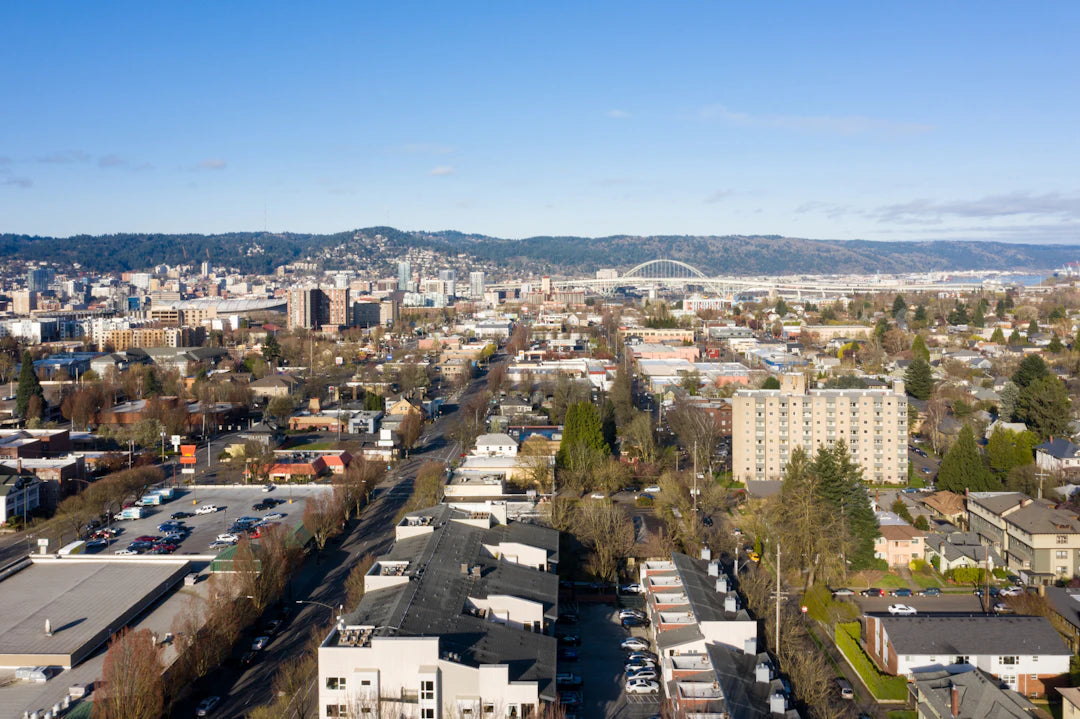
Using aerial imaging data collected by drones, municipalities can create detailed 3D models of urban landscapes. These models serve as a foundation for urban simulations, facilitating analyses of how new developments will interact with existing infrastructure and communities.
Choosing the Right Drone for Urban Planning
Selecting the right drone is critical for effective urban planning. When considering drones for municipal use, here are essential factors to keep in mind:
| Feature | Importance | |------------------------------|----------------------------------------------------| | Camera Quality | Higher resolution cameras yield better data | | Flight Time | Important for extensive surveying tasks | | Payload Capacity | Determines the type of sensors that can be carried | | Ease of Use | User-friendly operating systems enhance efficiency | | Durability and Reliability | Durable drones can withstand various environments | | Advanced Features | Thermal imaging capabilities can provide valuable insights from the best thermal camera for drones.|DJI Enterprise Drone Comparison
In the world of enterprise drones, DJI offers several models that stand out for urban planning purposes. The following table provides a brief comparison of key aspects:
| Drone Model | Camera Quality | Flight Time | Payload Capacity | Special Features | |-------------------|---------------------|-------------|------------------|----------------------------------------| | DJI Matrice 300 RTK | 20 MP Dual Camera | Up to 55 min | 2.7 kg | RTK for precise mapping; advanced AI | | DJI Mavic 2 Enterprise | 12 MP Thermal Camera | Up to 31 min | 0.9 kg | Built-in thermal camera; compact design | | DJI Phantom 4 RTK | 20 MP Camera | Up to 30 min | 1.1 kg | High-precision GPS |Choosing the right drone can significantly enhance the efficacy of urban planning projects, allowing municipalities to leverage advanced technology for better outcomes.
Challenges in Using Drones for Urban Planning
Despite the numerous benefits, municipalities also face challenges in integrating drone technology into their planning processes. Some common hurdles include:
- Regulatory Compliance: Navigating drone regulations can be complicated, requiring municipalities to stay informed of local and federal guidelines.
- Public Perception and Privacy Concerns: Some community members may view drone use as an invasion of privacy, posing a challenge for planners.
- Technical Training: Staff may require training to operate drones and interpret the data collected effectively.
- Data Management: Managing and analyzing the vast amounts of data collected by drones can be overwhelming without the proper systems in place.
Looking Ahead: The Future of Drones in Urban Planning
The future of drones in urban planning looks promising as technology continues to evolve. As municipalities increasingly recognize the benefits of drone technology, we can expect more innovative applications that address urban challenges. You may see enhanced public engagement through visualizations created from aerial data, smarter urban designs informed by real-time data, and even plans to integrate drones into public reporting systems for increased transparency.
With the integration of the best thermal camera for drones and advancements in AI technologies, municipalities can also expect more automated mapping solutions and autonomous drones capable of conducting inspections and surveys without human oversight.
Wrapping Up: Embracing a New Era in Urban Planning
Incorporating drones into urban planning represents a significant shift in how municipalities approach city development. The ability to collect accurate data quickly and efficiently not only streamlines the planning process but also enhances decision-making that can lead to more sustainable and effective urban environments. As technology progresses, we can anticipate even more exciting developments that will reshape the way we interact with our urban landscapes. So, if you're in the realm of urban planning or simply interested in how technology is evolving, keep an eye on how drone capabilities will continue to transform our cities!
Key Takeaways
- Drones enhance urban planning by providing accurate and efficient data collection, transforming traditional methods.
- Cost-effective solutions reduce the need for expensive ground surveys, saving municipalities time and money.
- High-resolution imaging from drones allows for detailed land surveys and infrastructure inspections, improving decision-making.
- Real-time data collection enables quick assessments and adjustments during planning processes.
- Advanced features such as thermal imaging help identify energy inefficiencies and monitor environmental impacts.
- Choosing the right drone is crucial; factors like camera quality, flight time, and ease of use significantly affect planning outcomes.
- Challenges include regulatory compliance and public perception, which municipalities must navigate for successful drone integration.
Pros and Cons
| Advantages of Drones in Urban Planning | Drawbacks of Drones in Urban Planning |
|---|---|
| Cost-effective by reducing the need for extensive ground surveys. | Regulatory compliance can be complex and time-consuming. |
| Time-saving, covering large areas more quickly than traditional methods. | Public perception issues, with concerns about privacy invasion. |
| High-quality data collection through advanced sensors and cameras. | Staff may require technical training to operate drones effectively. |
| Access to remote or hazardous areas for data gathering. | Data management can be overwhelming without proper systems. |
| Real-time feedback allows for quick assessments and adjustments. | Potential high initial investment in drone technology and training. |
Linked Product

Autel Robotics EVO II 640T Thermal and Visual Gimbal Camera
The Autel Robotics EVO II 640T is equipped with both thermal and visual camera capabilities, making it suitable for a variety of urban planning applications. With features like multiple thermal color palettes and high-resolution still photography options, it can effectively capture detailed imagery for analysis. Its support for various video formats and resolutions, including up to 8K, enhances its versatility in documenting and assessing urban environments.
View ProductWho It's For (And Not For)
Who It's For
- Urban Planners and Municipalities: If you are involved in urban planning, using drones can significantly enhance your data collection and analysis processes.
- Surveyors: Professionals who conduct land and property surveys will find drones to be a cost-effective and efficient tool for gathering precise geographic information.
- Environmental Assessors: Those conducting impact assessments will benefit from drones' ability to collect data on ecological factors quickly and accurately.
- Infrastructure Inspectors: If you are responsible for monitoring the condition of bridges, roads, and buildings, drones offer a safe and effective way to perform inspections.
Who It's Not For
- Individuals Unfamiliar with Technology: If you lack experience with drone technology or data interpretation, the initial learning curve may be challenging.
- Those Concerned About Privacy: Community members or planners who prioritize privacy may find the use of drones controversial and face public opposition.
- Organizations with Limited Budgets: Municipalities or agencies with tight budgets may struggle to afford the initial investment in drone technology and required training.
- Regulatory Compliance Skeptics: If you are not prepared to navigate the complexities of drone regulations, integrating this technology into planning processes could be problematic.
Frequently Asked Questions
1. How are drones used in urban planning?
2. What are the benefits of using drones for municipalities?
3. What features should municipalities consider when choosing a drone?
4. What challenges do municipalities face when integrating drones into urban planning?
5. What does the future hold for drones in urban planning?
Glossary
| Term | Meaning |
|---|---|
| Drones | Unmanned aerial vehicles operated remotely or autonomously. |
| UAV | Unmanned Aerial Vehicle; another term for drones. |
| Thermal Camera | A camera that detects heat and creates images based on temperature differences. |
| Urban Planning | The process of designing and organizing urban spaces and infrastructure. |
| Data Collection | The process of gathering information for analysis and decision-making. |
| Impact Assessment | An evaluation of the potential effects of proposed projects on the environment. |
| 3D Modeling | Creating a three-dimensional representation of urban landscapes. |
| Flight Time | The duration a drone can operate before needing to recharge or land. |
| Payload Capacity | The maximum weight a drone can carry, including sensors and equipment. |
| Regulatory Compliance | Adhering to laws and regulations governing drone use. |