
Harnessing Drone Technology for Environmental Protection
Overview
Drones are revolutionizing environmental monitoring and conservation by enabling precise wildlife tracking, habitat assessment, pollution detection, and forest management. Advanced technologies like the Autel EVO Lite 640T enhance data collection and engagement, while challenges such as regulatory compliance and privacy concerns need to be addressed. Future advancements in AI and sensor technology promise even greater capabilities, making drones essential tools for effective conservation efforts.
Table of Contents
- The Role of Drones in Environmental Monitoring
- Advanced Technologies for Effective Monitoring
- Key Features of the Autel EVO Lite 640T
- Impact on Conservation Efforts
- Data-Driven Decisions
- Community Engagement
- Enhanced Research Capabilities
- Challenges and Considerations
- The Future of Drone Technology in Environmental Conservation
- Maximizing the Potential of Drones for Conservation
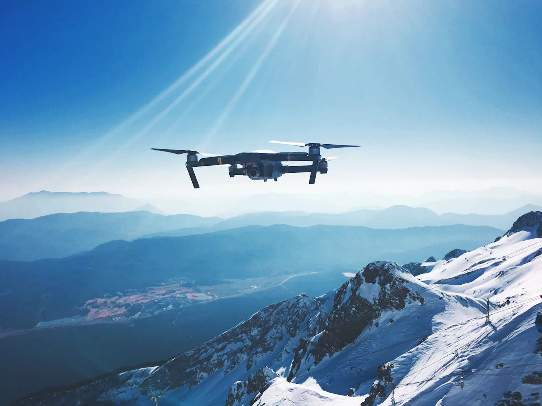
In recent years, drones have become essential tools for environmental monitoring and conservation efforts. From tracking wildlife to assessing deforestation impacts, the versatility of drones offers unprecedented opportunities for environmental organizations, researchers, and conservationists. By effectively utilizing advanced drone technologies, such as the Autel EVO Lite 640T and enterprise inspection drones, we can gain critical insights into our planet's health while promoting conservation initiatives.
The Role of Drones in Environmental Monitoring
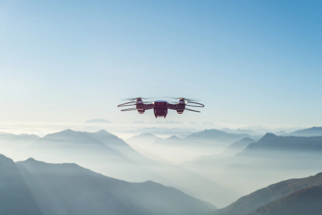
Drones equipped with high-resolution cameras and sensors have revolutionized the way we monitor various ecosystems. Their ability to fly over hard-to-reach areas allows for detailed observations that were once impossible or logistically challenging. Here are four key ways drones contribute to environmental monitoring:
- Wildlife Tracking: Drones can monitor wildlife populations in their natural habitats, providing critical data on migration patterns, breeding sites, and population health.
- Habitat Assessment: By capturing high-resolution aerial imagery, drones allow scientists to analyze habitat conditions and identify changes over time.
- Pollution Detection: Equipped with specialized sensors, drones can detect and map sources of pollution, enabling targeted clean-up efforts.
- Forest Management: Drones help assess forest health by detecting disease, pest infestations, and tracking deforestation trends.
Advanced Technologies for Effective Monitoring
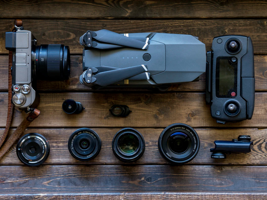
The incorporation of advanced drone technology is crucial for effective environmental monitoring. For instance, models like the Autel EVO Lite 640T offer enhanced imaging capabilities, allowing users to capture images in various lighting conditions. This capability is particularly important for obtaining data during different times of the day.
Key Features of the Autel EVO Lite 640T
The Autel EVO Lite 640T is designed with several innovative features that make it a valuable asset for environmental monitoring, including:
| Feature | Description |
|---|---|
| High-Resolution Imaging | Provides clear, detailed imagery to monitor ecosystems and wildlife. |
| Extended Flight Time | Allows for longer monitoring sessions without needing frequent recharges. |
| Advanced GPS and Navigation | Ensures accurate data collection and geo-tagging for subsequent analysis. |
| Durability | Designed to withstand various environmental conditions, including wind and rain. |
Impact on Conservation Efforts
In addition to monitoring, drones play a pivotal role in conservation efforts. They provide a cost-effective and efficient method for conducting research and implementing protective measures. Here's how drones are influencing conservation:
Data-Driven Decisions
By utilizing data gathered through drone flights, conservationists can make informed decisions to protect endangered species and habitats. For instance, tracking the movement of endangered animals helps organizations establish protective zones and promote sustainable practices in affected areas.
Community Engagement
Drones have made it easier to engage local communities in conservation efforts. Visual data from drone flights can be shared through social media and educational campaigns, raising awareness and encouraging local participation. For example, when a community sees drone footage highlighting the effects of pollution on their local river, they are more likely to take action to mitigate that issue.
Enhanced Research Capabilities
Researchers now have the tools to collect large amounts of accurate data quickly, enhancing their ability to conduct scientific studies and assessments. This increased efficiency leads to faster results, allowing for timely interventions when necessary.
Challenges and Considerations
While the benefits of using drones for environmental monitoring and conservation are significant, there are also challenges and considerations to keep in mind:
- Regulatory Compliance: Different countries and regions have varying regulations regarding drone usage, which can affect accessibility for conservation initiatives.
- Privacy Concerns: As drones capture images from the air, they may infringe on the privacy of individuals, leading to concerns that need addressing.
- Data Management: Gathering vast amounts of data requires effective management strategies to ensure that the information is stored, analyzed, and shared appropriately.
The Future of Drone Technology in Environmental Conservation
As technology continues to advance, the capabilities of drones are expected to become more sophisticated. Future developments may include:
- Improved AI Integration: Artificial intelligence can enhance data analysis, allowing for real-time processing of information collected during flights.
- Enhanced Battery Life: Longer flight times will enable drones to cover larger areas, providing even more valuable data.
- Multi-Sensor Systems: The integration of various sensors could lead to more comprehensive analyses of environmental conditions.
Maximizing the Potential of Drones for Conservation
To fully harness the potential of drones for environmental monitoring and conservation, organizations must:
- Invest in Training: Equip staff and volunteers with the necessary skills to operate drones safely and effectively.
- Collaborate with Experts: Partner with drone technology experts to customize solutions tailored to specific conservation needs.
- Engage Communities: Promote awareness and involvement among local populations to foster a sense of stewardship for the environment.
In today's rapidly changing environment, the need for effective monitoring and conservation strategies has never been more pressing. Drones, particularly advanced models like the Autel EVO Lite 640T and specialized enterprise inspection drones, provide invaluable tools to organizations dedicated to preserving our planet's ecosystems. By integrating these technologies into their efforts, conservationists can gather critical data, engage communities, and advocate for positive change in environmental policies. The synergy of drone technology and conservation initiative is not just beneficial—it's essential for a sustainable future.
Key Takeaways
- Drones enhance wildlife tracking by providing critical data on migration patterns and population health.
- High-resolution imagery from drones allows for effective habitat assessment and monitoring of ecosystem changes.
- Pollution detection capabilities enable targeted clean-up efforts by mapping pollution sources.
- Advanced drone technologies, such as the Autel EVO Lite 640T, improve data collection with high-resolution imaging and extended flight times.
- Drones facilitate data-driven conservation decisions, helping to establish protective zones for endangered species.
- Community engagement is enhanced through visual data shared via social media, raising awareness of local environmental issues.
- Future advancements in drone technology may include improved AI integration and multi-sensor systems for comprehensive environmental analysis.
Pros and Cons
| Advantages of Drones in Environmental Monitoring | Drawbacks of Drones in Environmental Monitoring |
|---|---|
| High-resolution imaging provides detailed ecosystem monitoring. | Regulatory compliance varies by region, complicating usage. |
| Extended flight times allow for longer monitoring sessions. | Privacy concerns may arise from aerial data collection. |
| Data-driven decisions enhance conservation efforts. | Large data volumes require effective management strategies. |
| Engages local communities through visual data sharing. | Initial investment in technology and training can be high. |
| Improves research capabilities with rapid data collection. | Potential for misuse or ethical concerns in data handling. |
Linked Product

Autel Robotics EVO Lite 640T Enterprise Premium Package
The Autel Robotics EVO Lite 640T Enterprise Premium Package is designed for efficient environmental monitoring and conservation efforts. Featuring a dual gimbal system with both visible light and thermal imaging cameras, it allows for detailed image capture and effective decision-making in various operational scenarios. With a lightweight design, intuitive app, and advanced AI target recognition, this drone is well-suited for single-person deployment in law enforcement, public safety, and emergency rescue missions.
View ProductWho It's For (And Not For)
Who It's For
- Environmental Organizations: Groups focused on wildlife conservation, habitat protection, and pollution control can greatly benefit from drone technology.
- Researchers: Scientists requiring detailed aerial data for studies on ecosystems and environmental changes will find drones invaluable.
- Conservationists: Individuals or groups looking to implement data-driven strategies for protecting endangered species and habitats.
- Community Activists: Those engaged in local conservation efforts can use drones to raise awareness and encourage community participation.
Who It's Not For
- Individuals Unfamiliar with Technology: Those lacking experience with drones or technology may find it challenging to utilize these tools effectively.
- Organizations with Limited Budgets: Small groups without the financial resources for drone technology and training may struggle to implement these solutions.
- Areas with Strict Regulations: Regions where drone usage is heavily regulated may limit the ability to conduct monitoring and conservation efforts.
- People Concerned About Privacy: Individuals worried about privacy implications may be hesitant to support drone usage in their communities.
Frequently Asked Questions
1. How are drones used in environmental monitoring?
2. What are the key features of the Autel EVO Lite 640T?
3. How do drones impact conservation efforts?
4. What challenges are associated with using drones for environmental monitoring?
5. What is the future of drone technology in environmental conservation?
Glossary
| Term | Meaning |
|---|---|
| Drones | Unmanned aerial vehicles used for various applications. |
| Environmental Monitoring | Tracking and assessing the health of ecosystems. |
| Wildlife Tracking | Monitoring animal populations and behaviors in their habitats. |
| Pollution Detection | Identifying and mapping sources of environmental pollution. |
| Autel EVO Lite 640T | A drone model known for its high-resolution imaging capabilities. |
| Data-Driven Decisions | Using collected data to inform conservation strategies. |
| Community Engagement | Involving local populations in conservation efforts through awareness. |
| Regulatory Compliance | Adhering to laws and regulations governing drone usage. |
| AI Integration | Using artificial intelligence to enhance data analysis capabilities. |
| Multi-Sensor Systems | Using various sensors for comprehensive environmental analysis. |