Advanced Payload Drones for Precision Mapping and Inspection
Overview
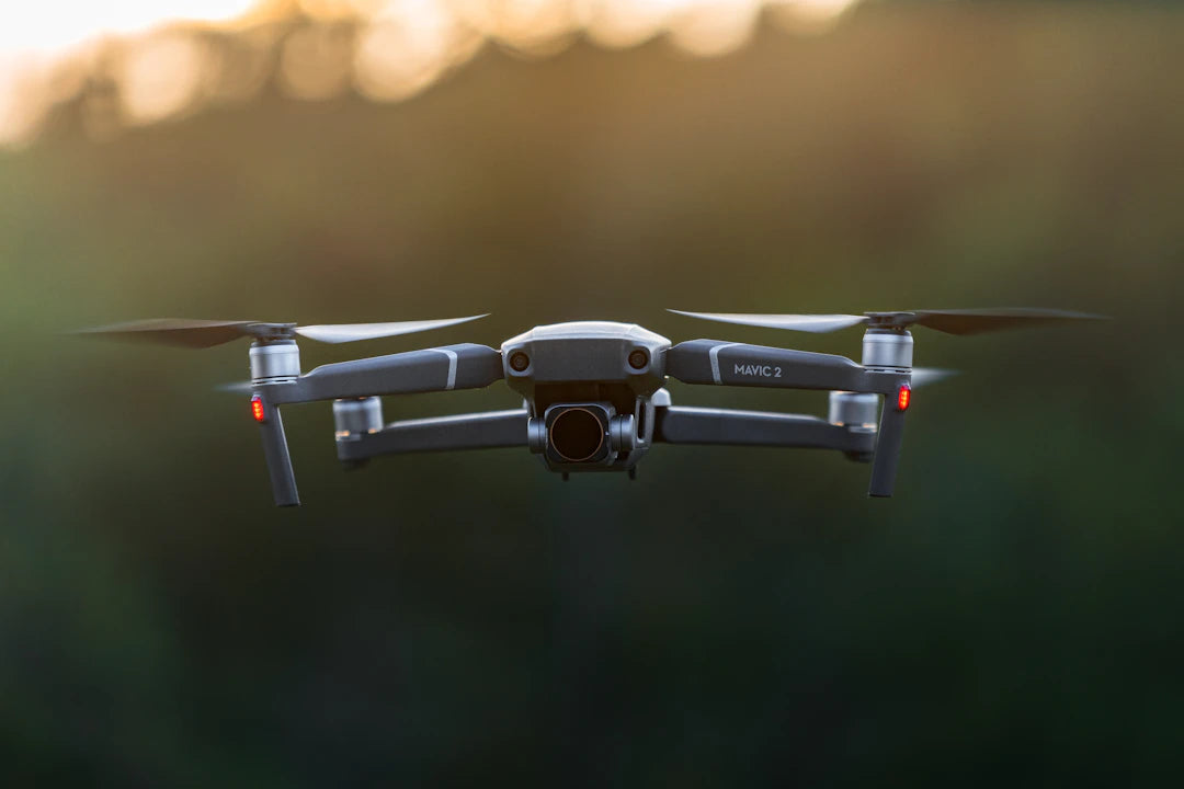
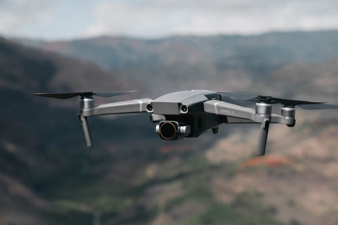
Drones are essential tools in various industries for tasks like mapping, inspections, and photography. Freefly offers advanced drones designed for complex payloads, providing efficiency, safety, high-quality data, and flexibility. Key models include the Astro Map Drone Kit for high-resolution mapping, Astro Max for versatile applications, Astro LR1 for imaging, and Wiris Pro for thermal inspections. When choosing a drone, consider purpose, payload capacity, camera quality, flight time, usability, and support. Freefly's drones enhance operational efficiency across professional sectors.
Table of Contents
- Why Choose Drones for Advanced Payload Applications?
- Exploring Freefly's Advanced Drone Payloads
- Freefly Astro Map Drone Kit with Sony a7R IV Camera
- Freefly Astro Max
- Freefly Astro LR1 Payload
- FreeFly Wiris Pro Payload (Thermal)
- Comparison Table of Freefly Drones and Payloads
- Buyer’s Guide: Choosing the Right Drone for Your Needs
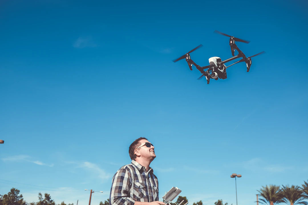
Drones have become invaluable in various industries, offering advanced capabilities for tasks such as aerial mapping, inspections, and cinematic photography. For professionals seeking reliable tools that can handle complex payloads, the latest offerings from Freefly provide exceptional solutions. In this article, we'll explore a selection of Freefly drones designed with advanced payload capabilities, perfect for applications ranging from high-resolution mapping to thermal inspections.
Why Choose Drones for Advanced Payload Applications?
As industries evolve, the demand for precise data collection and effective inspections has increased significantly. Drones equipped with advanced payloads offer several advantages over traditional methods. Here are a few reasons why using drones is a smart choice:
- Efficiency: Drones can cover large areas quickly, reducing the time needed for inspections compared to manual methods.
- Safety: Aerial inspections minimize the need for human inspectors to access hazardous locations, such as rooftops or industrial sites.
- High-Quality Data: Advanced cameras and sensors provide high-resolution images and real-time data, essential for accurate assessments.
- Flexibility: The ability to swap payloads allows for various applications, from aerial photography to thermal imaging.
Exploring Freefly's Advanced Drone Payloads
Freefly has established itself as a leader in the drone industry, particularly in providing versatile and robust platforms for professionals. Let's take a closer look at some of their advanced drones and payloads, which are ideal for tasks requiring precision and reliability.
Freefly Astro Map Drone Kit with Sony a7R IV Camera

The Freefly Astro Map Drone Kit comes equipped with a powerful 61MP mapping payload, integrating a Sony Alpha 7R IV camera and a Freefly gimbal for stability. This kit is designed for professionals who require high-quality imagery for mapping and inspection tasks. With features like LTE cloud connectivity and a mission computer, the Astro Map Drone enhances operational efficiency and provides real-time data management. It’s perfect for industries such as construction and environmental monitoring, where detailed imagery is critical.
Freefly Astro Max

The Freefly Astro Max is another exceptional offering that boasts a compact design and versatility. It serves as a solid foundation for carrying various payloads, making it an ideal choice for those who need adaptability. The included Smart Dovetail payload mount allows easy switching of equipment, catering to both inspection and cinematic needs. Whether you’re conducting drone inspections versus manual inspections on buildings or capturing stunning aerial footage, the Astro Max has the capabilities to meet your requirements.
Freefly Astro LR1 Payload

For high-resolution imaging missions, consider the Freefly Astro LR1 Payload. This payload is specifically designed to integrate seamlessly with the Freefly Astro platform, offering advanced imaging capabilities for mapping and inspection. It features a 61MP Sony ILX-LR1 camera and supports various lenses, making it perfect for different applications. The connection between the camera and the ground station allows for remote control of camera settings, ensuring you capture the best images while keeping operations efficient.
FreeFly Wiris Pro Payload (Thermal)

Last but not least, the FreeFly Wiris Pro Payload stands out for those requiring thermal imaging capabilities. This payload allows for detailed inspections by detecting heat signatures, which are crucial for identifying issues in roofing, electrical systems, and other areas where temperature discrepancies can indicate problems. Compatible with the Astro platform and featuring an intuitive Smart Dovetail connection, the Wiris Pro is an excellent choice for professionals working in sectors that demand precision.
Comparison Table of Freefly Drones and Payloads
| Product | Camera | Special Features | Best For |
|---|---|---|---|
| Astro Map Drone Kit | Sony Alpha 7R IV (61MP) | RTK, LTE connectivity | High-resolution mapping |
| Astro Max | Customizable | Smart Dovetail payload mount | Versatile applications |
| Astro LR1 Payload | Sony ILX-LR1 (61MP) | Adjustable and expandable | Mapping and imaging |
| Wiris Pro Payload | Thermal imaging | Built-in SSD storage | Thermal inspections |
Buyer’s Guide: Choosing the Right Drone for Your Needs
When selecting a drone with advanced payload capabilities, consider the following factors:
- Purpose: Define what you'll primarily use the drone for—mapping, inspections, or capturing cinematic footage. This will help determine the necessary features.
- Payload Capacity: Ensure the drone can handle the weight and type of payload you plan to use. Each model varies in its capabilities.
- Camera Quality: For tasks requiring high-resolution images, look for drones with top-tier camera specifications.
- Flight Time: Consider the battery life and flight time, especially for larger areas that need to be covered during inspections.
- Usability: Evaluate how easy it is to operate the drone, including the interface and control systems.
- Support and Resources: Check if the manufacturer offers strong support and resources for troubleshooting and maintenance.
In summary, Freefly's range of drones and payloads provides exceptional options for anyone in need of advanced aerial solutions. Whether you're conducting detailed inspections, high-resolution mapping, or thermal assessments, these drones cater to professional needs with precision and reliability. By understanding your specific requirements and the unique features of each drone, you can make an informed decision that enhances your workflow and efficiency.
Key Takeaways
- Drones enhance efficiency by covering large areas quickly, significantly reducing inspection times.
- Safety is improved as drones minimize the need for human inspectors in hazardous locations.
- High-quality data is provided by advanced cameras and sensors, essential for accurate assessments.
- Flexibility is key with drones, allowing for easy payload swapping for various applications.
- Freefly's Astro Map Drone Kit is ideal for high-resolution mapping, featuring a 61MP camera and LTE connectivity.
- The Astro Max offers versatility with a customizable payload mount for different inspection and cinematic needs.
- Thermal imaging capabilities are available with the FreeFly Wiris Pro Payload, perfect for detailed inspections.
Pros and Cons
| Advantages of Drones | Drawbacks of Drones |
|---|---|
| Efficiency in covering large areas quickly. | Initial investment costs can be high. |
| Enhanced safety by minimizing human exposure to hazardous locations. | Requires training and skill to operate effectively. |
| High-quality data collection with advanced cameras and sensors. | Weather conditions can impact flight performance. |
| Flexibility to switch payloads for various applications. | Regulatory restrictions may limit usage in some areas. |
| Real-time data management improves operational efficiency. | Maintenance and repair can be complex and costly. |
Who It's For (And Not For)
Who It's For
- Professionals in Mapping and Inspections: If your work involves high-resolution mapping or detailed inspections, Freefly drones are designed to meet these needs with advanced imaging capabilities.
- Industries Requiring Safety: For those in sectors where safety is a concern, such as construction and utilities, drones can minimize the need for personnel to access hazardous areas.
- Users Needing Versatility: If you require a drone that can adapt to various payloads for different tasks, the Freefly Astro Max offers customizable options.
- Thermal Imaging Requirements: Professionals needing thermal imaging for inspections will benefit from the FreeFly Wiris Pro Payload, which is specifically designed for detecting temperature discrepancies.
Who It's Not For
- Casual Users: If you are looking for a drone for recreational use or casual photography, these advanced drones may be more complex and costly than necessary.
- Budget-Conscious Buyers: Those with limited budgets may find that the advanced features of Freefly drones exceed their financial capabilities.
- Non-Technical Users: If you lack experience with drone operations or technical knowledge, the advanced functionalities may be overwhelming without proper training.
- Short-Term Projects: For individuals or businesses with short-term needs, investing in high-end drones may not be justifiable compared to more basic models.
Comparison at a Glance
| Option | Best for | Strengths | Trade-offs |
|---|---|---|---|
| Freefly Astro Map Drone Kit | High-resolution mapping | 61MP camera, RTK, LTE connectivity | Higher cost, specialized for mapping tasks |
| Freefly Astro Max | Versatile applications | Customizable payload mount, compact design | Less specialized for specific tasks |
| Freefly Astro LR1 Payload | Mapping and imaging | 61MP camera, adjustable and expandable | Requires compatible drone platform |
| FreeFly Wiris Pro Payload | Thermal inspections | Thermal imaging, built-in SSD storage | Limited to thermal applications |
Frequently Asked Questions
1. What are the advantages of using drones for advanced payload applications?
2. What specific applications can Freefly drones be used for?
3. What is unique about the Freefly Astro Map Drone Kit?
4. How does the Freefly Astro Max differ from other drones?
5. What features does the FreeFly Wiris Pro Payload offer for inspections?
Glossary
| Term | Meaning |
|---|---|
| Drones | Unmanned aerial vehicles used for various tasks. |
| Payload | The equipment or sensors carried by a drone. |
| Aerial Mapping | Creating maps using drone-captured images. |
| Thermal Imaging | Capturing heat signatures for inspections. |
| High-Resolution | Images with a high level of detail and clarity. |
| Gimbal | A stabilizing device for cameras on drones. |
| RTK | Real-Time Kinematic, a GPS technology for precision. |
| Smart Dovetail | A quick-release system for changing payloads. |
| Inspections | Examinations of structures or systems using drones. |
| Operational Efficiency | Maximizing productivity and minimizing time. |