Transforming Conservation: Drones in Environmental Monitoring
Overview
Drones are revolutionizing environmental monitoring and conservation by providing cost-effective, high-resolution data collection. They are used for habitat mapping, wildlife monitoring, vegetation health analysis, disaster management, and pollution monitoring. Underwater drones also play a key role in coastal monitoring. The future of this technology includes enhanced data analysis, greater collaboration, and increased accessibility, making it easier for individuals to participate in conservation efforts.
Table of Contents
- The Role of Drones in Conservation Efforts
- Applications of Drones in Environmental Monitoring
- 1. Habitat Mapping and Assessment
- 2. Wildlife Monitoring
- 3. Vegetation Health Analysis
- 4. Disaster Management
- 5. Pollution Monitoring
- Harnessing Underwater Drones for Coastal Monitoring
- Understanding How Underwater Drones Work
- Drones: Catalysts for Conservation Education
- The Future of Environmental Monitoring with Drones
- 1. Enhanced Data Analysis
- 2. Greater Collaboration and Data Sharing
- 3. More Affordable and Accessible Technology
- Getting Involved in Drone-Based Conservation
- Your Role in a Greener Future
In recent years, the use of drones for environmental monitoring and conservation has transformed the way we observe and protect our planet’s ecosystems. The implementation of advanced drone technology not only enhances data collection but also offers innovative approaches to understanding the environmental challenges we face. This blog post delves into the various applications of drones in environmental monitoring, including the use of models like the DJI Matrice 4T and the fascinating mechanics behind how underwater drones work.
The Role of Drones in Conservation Efforts
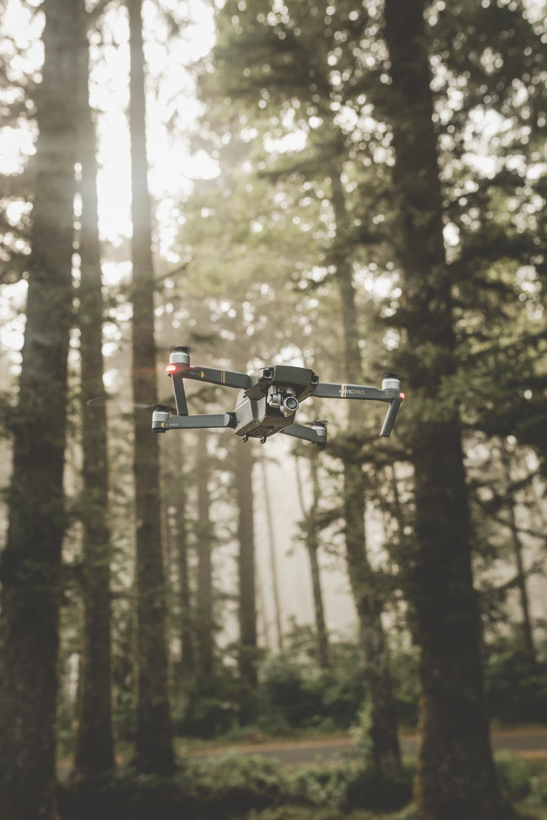
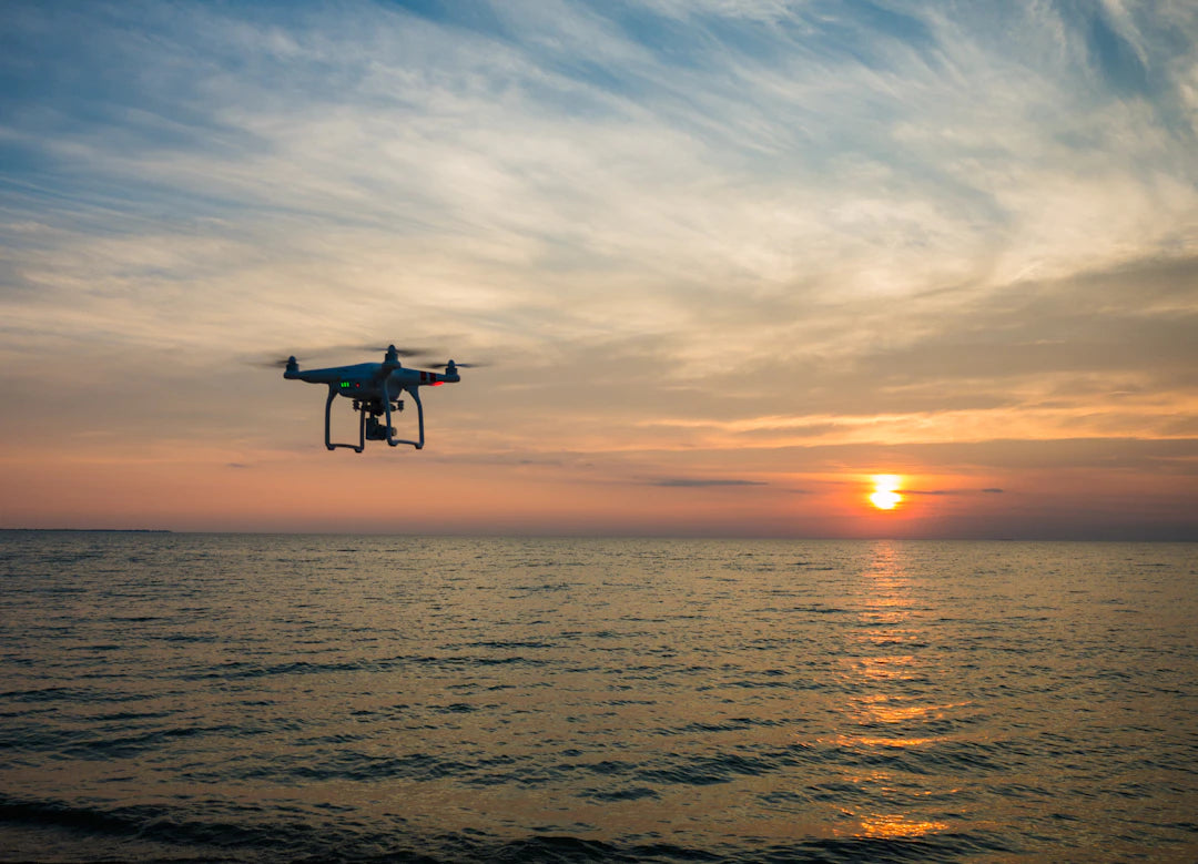
Drones provide a bird's-eye view of landscapes that enable scientists, conservationists, and researchers to gather vital data in real-time. These unmanned aerial vehicles (UAVs) offer numerous benefits, including:
- Cost-Effectiveness: Drones can cover large areas in a short time at a fraction of the cost of traditional aerial survey methods.
- High-Resolution Imaging: Equipped with advanced cameras, drones can capture high-resolution images for detailed analysis.
- Improved Accessibility: Drones can reach remote or hazardous locations that are otherwise challenging to access.
- Real-Time Data Collection: Instant data retrieval aids in timely decision-making regarding conservation strategies.
Applications of Drones in Environmental Monitoring
Drone technology is applied in various aspects of environmental monitoring and conservation. Some key applications include:
1. Habitat Mapping and Assessment
Mapping wildlife habitats is crucial for conservation efforts. Drones equipped with high-resolution cameras can survey large areas efficiently, providing accurate data on habitat conditions and species distribution. This information is essential for developing effective conservation policies.
2. Wildlife Monitoring
Monitoring wildlife populations can be challenging, especially in dense forests or expansive terrains. Drones allow for the observation of animal behavior without disturbing their natural habitats. With thermal imaging capabilities, drones like the DJI Matrice 4T can track nocturnal animals and their movements, facilitating data collection for vital studies.
3. Vegetation Health Analysis
Using multispectral sensors, drones can assess plant health by capturing data on chlorophyll levels and other factors. This information helps identify stressed vegetation and manage resources for restoration efforts. The collected vegetation indices can indicate the health of ecosystems and guide conservationists in addressing environmental issues.
4. Disaster Management
Drones play a pivotal role in disaster response and recovery processes. After natural disasters, drones can quickly assess damage extent, enabling efficient resource allocation in recovery efforts. They help in monitoring the impact of wildfires, floods, and storms on various ecosystems.
5. Pollution Monitoring
Environmental pollution is a critical issue needing immediate attention. Drones can monitor air quality, assess water bodies, and track illegal dumping activities. Advanced sensors allow drones to gather critical data on toxin levels, leading to actionable insights for pollution controls.
Harnessing Underwater Drones for Coastal Monitoring
While aerial drones are gaining traction, underwater drones are also making a splash in conservation efforts. How do underwater drones work? These innovative devices, often referred to as remotely operated vehicles (ROVs), explore underwater ecosystems and gather invaluable data.
Understanding How Underwater Drones Work
Underwater drones navigate underwater environments equipped with various sensors and cameras. They can perform tasks such as:
- Mapping Seabeds: Underwater drones create detailed maps of the sea floor, revealing critical habitat information.
- Coral Reef Monitoring: These drones assess coral health and can conduct surveys to track changes in reef ecosystems.
- Marine Life Observation: Equipped with high-definition cameras, underwater drones capture footage of marine species without invasive effects.
| Feature | Aerial Drones | Underwater Drones |
|---|---|---|
| Operating Environment | Above water | Underwater |
| Typical Applications | Wildlife monitoring, habitat mapping | Coral reef assessments, seabed mapping |
| Sensors Used | High-resolution cameras, thermal sensors | Sonar, HD imaging, environmental sensors |
| Accessibility | Remote areas, disaster zones | Depths of oceans and lakes |
Drones: Catalysts for Conservation Education
While drones serve as crucial tools for scientists and conservationists, they also hold great potential in raising awareness and educating the public about environmental issues. By sharing captivating imagery and data collected by drones, organizations can engage communities and foster participation in conservation activities. Drones can help:
- Showcase Environmental Changes: Aerial footage can visually represent the impact of climate change, capturing changes in land use, deforestation, and habitat loss.
- Create Engaging Educational Content: Video footage collected by drones can be transformed into educational materials for schools, fostering future generations of conservationists.
- Boost Public Participation: By getting the community involved through drone aerial surveys and projects, interest in environmental stewardship increases.
The Future of Environmental Monitoring with Drones
The future of environmental monitoring is bright, with advancements in drone technology. The integration of artificial intelligence, machine learning, and improved sensors will undoubtedly enhance their capabilities. This evolution will lead to:
1. Enhanced Data Analysis
The incorporation of AI with drones will streamline data processing, allowing researchers to analyze vast datasets swiftly. Enhanced algorithms will help detect patterns and anomalies in environmental health, fulfilling proactive conservation measures.
2. Greater Collaboration and Data Sharing
As drone technology becomes more mainstream, organizations can share data across various platforms. This collaboration will foster a united approach to global environmental challenges, enhancing conservation success rates.
3. More Affordable and Accessible Technology
Continuous advancements in technology will likely lead to more affordable drone options, empowering citizen scientists and local conservationists to join the cause. Improved usability means that even non-experts can contribute to vital environmental monitoring efforts.
Getting Involved in Drone-Based Conservation
As technology continues to advance, more opportunities arise for individuals and organizations to get involved in drone-based conservation. Here are some ideas to consider:
- Join a Local Conservation Group: Connect with organizations utilizing drones for conservation and request involvement in their projects.
- Participate in Training Workshops: Attend drone training workshops or webinars to expand your knowledge about operating drones for environmental monitoring.
- Advocate for Drone Use in Conservation: Engage with policymakers and advocate for drone applications in local conservation strategies to protect natural resources.
- Share Your Findings: If you own a drone, consider using it for personal projects focusing on environmental health. Document your findings and share them with local conservation groups.
Your Role in a Greener Future
In conclusion, the use of drones for environmental monitoring and conservation presents us with unprecedented opportunities to safeguard our planet. From fostering data collection to enhancing conservation awareness, drones have become vital tools for sustaining biodiversity and protecting ecosystems. As technological advancements unfold, engagement at all levels will be essential. Whether through local initiatives or personal projects, your involvement can contribute to a greener, healthier future for generations to come.
Key Takeaways
- Drones enhance environmental monitoring by providing real-time data collection and high-resolution imaging for effective analysis.
- Cost-effective solutions: Drones can cover large areas quickly and at a lower cost compared to traditional survey methods.
- Applications in wildlife conservation include habitat mapping, wildlife monitoring, vegetation health analysis, and pollution tracking.
- Underwater drones are essential for coastal monitoring, enabling seabed mapping and coral reef assessments.
- Future advancements in drone technology will integrate AI and machine learning, enhancing data analysis and collaboration among conservationists.
- Public engagement through drone imagery fosters awareness and participation in conservation efforts.
- Opportunities for involvement include joining local conservation groups, participating in workshops, and advocating for drone use in environmental strategies.
Pros and Cons
| Advantages of Drones in Environmental Monitoring | Drawbacks of Drones in Environmental Monitoring |
|---|---|
| Cost-Effective: Drones reduce the expenses associated with traditional survey methods. | Regulatory Challenges: Drone use may be subject to strict regulations and permits. |
| High-Resolution Imaging: Drones capture detailed images for accurate analysis. | Technical Limitations: Drones may face operational issues in extreme weather conditions. |
| Improved Accessibility: Drones can reach remote and hazardous areas easily. | Privacy Concerns: The use of drones can raise issues related to privacy and surveillance. |
| Real-Time Data Collection: Instantaneous data retrieval supports timely decision-making. | Dependence on Technology: Over-reliance on drones may lead to neglect of traditional methods. |
Linked Product

DJI Matrice 4T Thermal Intelligent Multi-Sensor Compact Drone
The DJI Matrice 4T Thermal Intelligent Multi-Sensor Compact Drone is designed for enterprise applications, including electricity, emergency response, and forestry conservation. Its advanced sensing capabilities, including a thermal camera and laser range finder, enable precise measurements and improved operational efficiency in various environments. The drone also features AI-powered detection and enhanced night vision, making it suitable for search and rescue missions and low-light conditions.
View ProductWho It's For (And Not For)
Who It's For
- Environmental Scientists and Researchers: Those who require precise data collection for studies related to ecosystems and wildlife.
- Conservationists: Individuals or organizations focused on protecting natural resources and biodiversity.
- Educators: Teachers looking to incorporate innovative technology into environmental education and raise awareness among students.
- Outdoor Enthusiasts: Individuals who enjoy exploring remote areas and are interested in using drones for personal conservation projects.
- Policy Advocates: Those who aim to influence local conservation strategies through the use of advanced technology.
Who It's Not For
- Individuals with No Interest in Technology: Those who prefer traditional methods of data collection and are not inclined to learn about drone operations.
- People Uninvolved in Environmental Issues: Individuals who do not prioritize conservation or environmental monitoring in their personal or professional lives.
- Those with Limited Resources: Individuals or organizations that cannot afford the investment required for drone technology and its maintenance.
- Individuals Seeking Quick Solutions: Those looking for immediate fixes rather than engaging in long-term conservation efforts.
- Non-Technical Users: People who may find operating drones complex and challenging without prior experience or training.
Frequently Asked Questions
1. What are the main benefits of using drones for environmental monitoring?
2. How do drones help with wildlife monitoring?
3. What applications do drones have in disaster management?
4. What is the role of underwater drones in environmental conservation?
5. How can individuals get involved in drone-based conservation efforts?
Glossary
| Term | Meaning |
|---|---|
| Drones | Unmanned aerial vehicles used for various applications. |
| UAVs | Acronym for Unmanned Aerial Vehicles, commonly referred to as drones. |
| Habitat Mapping | Process of surveying and assessing wildlife habitats. |
| Wildlife Monitoring | Tracking animal populations and behaviors in their natural habitats. |
| Multispectral Sensors | Devices that capture data across multiple wavelengths for analysis. |
| ROVs | Remotely Operated Vehicles used for underwater exploration. |
| Coral Reef Monitoring | Assessing the health and changes in coral ecosystems. |
| Data Collection | The process of gathering information for analysis and decision-making. |
| Pollution Monitoring | Tracking environmental pollutants and assessing their impact. |
| AI Integration | Incorporating artificial intelligence to enhance drone data analysis. |